Seismic Image Registration
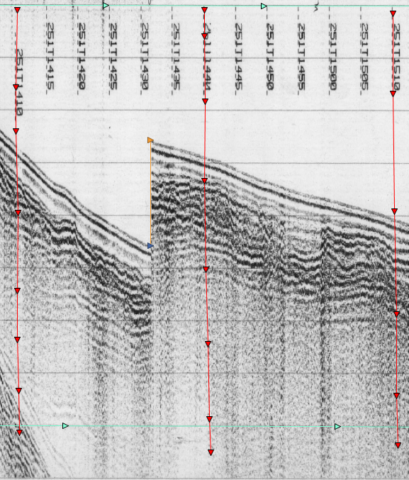
From old paper scrolls to usable digital data. We take scanned seismic images and create digital versions using vertical references and instrument sweep rate.
Our basic digitization services include:
Digitization of scanned images
Time Delay/Sweep-change correction
Cruise/Project metadata embedment
Navigation embedment
The final product is a digital seismic image with geographic and temporal reference.
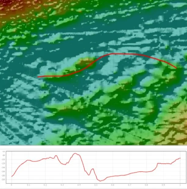
Bathymetric Profiling and Depth Correction
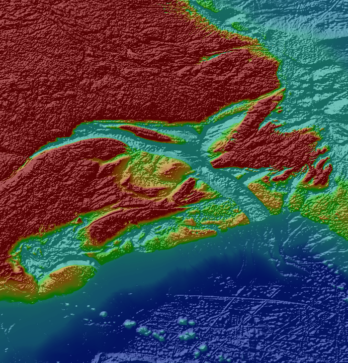
Using bathymetric data sets we can correct individual seismic lines to show best fit depths correlating to the given bathymetric dataset used. All depth corrections are done in reference to your preferred bathymetric dataset.
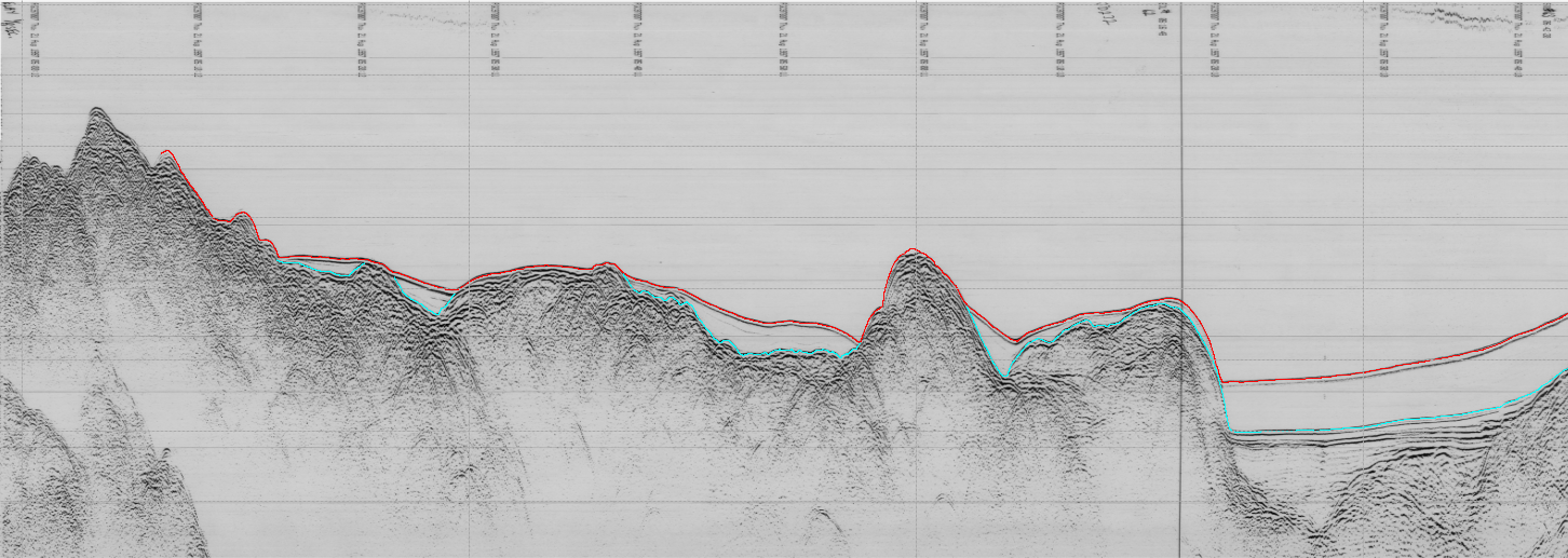
Sea-Floor Horizons
Using digitized seismic images we can trace sea-floor horizons and other chosen features. Horizons and seismic navigation can be exported in GIS compatible file formats.
Other Services
For inquiry about additional services outside the scope of our base services please contact us. Other services can include GIS modelling, additional seismic processing, and programming. We are happy to discuss how our combined experience and skill sets can contribute to your project.


